 Comment
Until now, Google Maps was very popular with motorists preparing a trip: less specialized at first glance than specialized tools such as ViaMichelin or Mappy, it actually offered considerable flexibility through the possibility of modify the itinerary at will by simply “dragging” its layout.
From now on, pedestrians will be able to take advantage of it: in addition to the classic "Avoid the motorways" for tight-fisted motorists, there is now the possibility of requesting a “On foot” route. And this does not only affect the calculated time (a pedestrian going on average slower than a car), but directly on the route itself. So let's compare:
We are in Montmartre and want to join the headquarters of Digital. By car, Google sends you as close as possible to the device, for a 3,7 km route in 8 minutes – with traffic jams, of course. On foot, it offers a much shorter route: only 2,3 km, estimated at 33 minutes.
For Google, a pedestrian therefore walks at around 4,2 km/h, which is indeed a reasonable pace for an average walker on flat ground.
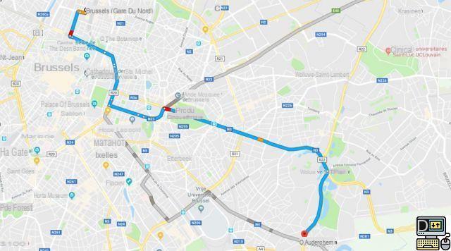
This function is not available for very long journeys. And above all, it does not currently present any interest in the mountains: we have therefore requested a route between two neighboring villages in the south of the Vercors, and Google took us through the road, by car or on foot, making us do 8 km while a great hiking trail reduces the distance by half (on the map opposite, we have added the path in question in red).
However, we noted on this occasion that the duration calculation takes into account the slope : he told us ten minutes more on the way up than on the way down. Bravo.
The unavoidable question, now, is this: to whom can this be useful? Preparing and printing a driving itinerary is a common practice, but how many of us would be willing to plan every trip on foot?
We believe that it is mainly 3G smartphone users who are targeted here. Lost, they just have to connect to the site, then indicate their position (no problem in town: just find a street sign) and their destination, to finally follow the blue line on their screen. And even if they lose track, all they have to do is change the starting point to have a route calculated again.
Tourists equipped with top-of-the-range telephones could therefore fully appreciate this new function.